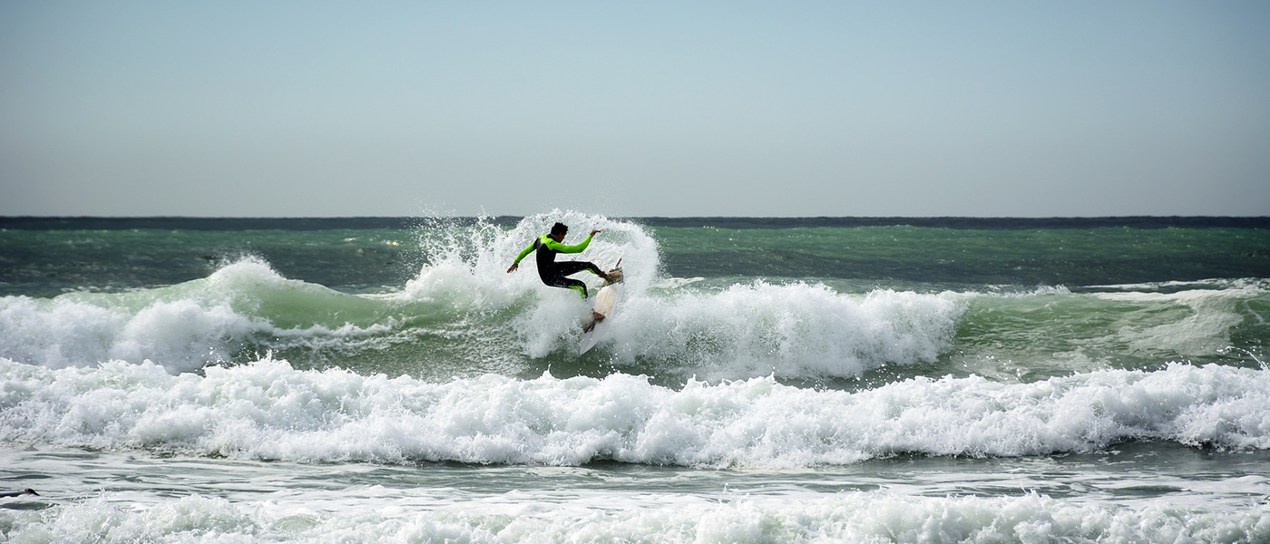
The long-term vision for the Strategy is that “Coastal communities, businesses and critical infrastructure from Tangoio to Clifton are resilient to the effects of coastal hazards”.
This strategy provides a framework for assessing coastal hazards risks and identifying options for the management risks for the next 100 years from now to 2120.
It is being developed collaboratively by Hastings District Council, Maungaharuru-Tangitū Trust, Hawke’s Bay Regional Council, Mana Ahuriri Trust, Napier City Council and Tamatea Pōkai Whenua.
Find out about the strategy development, what councils have been working on, and what’s next:
Development of the Clifton to Tangoio Coastal Hazards Strategy 2120
 Breaking it down
We split the coast up into units so that each area could be considered for its specific needs.
Nine priority units were identified along the coast as being the most urgent areas requiring a coastal hazards response.
We worked with members of the community and experts to develop recommended response pathways for these priority units.
Each pathway was built from a combination of short term (0 – 20 years), medium term (20 – 50 years) and long term (50 – 100 years) hazard response actions. Importantly, the timing of each action and even the action itself can be changed in response to real world conditions. In this way, each pathway is designed to remain ‘adaptive’ to a highly uncertain future.
To identify the preferred pathway for each priority unity, six potential pathways were developed for each unit, representing the spectrum of possible responses from no or low intervention to soft engineering (e.g. beach renourishment), hard engineering (e.g. sea walls), and managed retreat. Part of this work looked at construction and maintenance costs for each pathway.
The panel went through an intensive process that carefully considered a wide range of options carefully looking at the uniqueness of Hawke’s Bay’s coast, what had been done around the world, while being supported by independent experts before confirming a recommended pathway for each unit.
The New Zealand Coastal Policy Statement requires Local Authorities to consider and plan for coastal hazards risks. Under Policy 24 (1), Local Authorities are required to:
“Identify areas in the coastal environment that are potentially affected by coastal hazards (including tsunami), giving priority to the identification of areas at high risk of being affected. Hazard risks, over at least 100 years, are to be assessed…”
The latest Intergovernmental Panel on Climate Change (IPCC) report (AR6) states that the average global sea level has risen by about 20 cm since 1900. IPCC expects it to rise between 0.53m (very low future greenhouse gas emission scenario, SSP1-1.9) and 1.73m (low-likelihood, high-impact storyline, including ice-sheet instability processes, under SSP5-8.5) by the end of the century. By year 2300 sea level rise greater than 15m cannot be ruled out with high emissions. The report also indicates that coastal cities will experience more flooding due to the combination of more frequent extreme sea level events (due to sea level rise and storm surge) and extreme rainfall/ riverflow.
The Strategy represents a cross-council approach to identifying and responding to these hazards. It provides a platform for making decisions about the most appropriate responses.
The Strategy involves:
This strategy is being developed in partnership with groups representing mana whenua and tangata whenua, Hastings District Council, Napier City Council, and Hawke’s Bay Regional Council. We have worked closely with community members from along each area of the coast to incorporate local feedback into the Strategy.
The process for developing the strategy has followed the Ministry for the Environment’s dynamic and adaptive pathway planning (DAPP) guidance.
The strategy is currently in development, and is not yet part of any council’s Long Term Plan. This means the pathways can’t be implemented at the moment.
To keep this work moving forward, we now need to formally make it part of a council’s Long Term Plan. We now need to confirm with the wider community how the pathways should work and which council will lead the strategy, with support and input from the other councils and mana whenua, in order to be able to make the strategy a reality.

Disclaimers and Copyright
While every endeavour has been taken by the to ensure that the information on this website is
accurate and up to date, shall not be liable for any loss suffered through the use, directly or indirectly, of information on this website. Information contained has been assembled in good faith.
Some of the information available in this site is from the New Zealand Public domain and supplied by relevant
government agencies. cannot accept any liability for its accuracy or content.
Portions of the information and material on this site, including data, pages, documents, online
graphics and images are protected by copyright, unless specifically notified to the contrary. Externally sourced
information or material is copyright to the respective provider.
© - www.hbcoast.co.nz / /